Humboldt GIS Data Archive Project
 Organised by Cal Poly Humboldt Foundation
Help students get hands-on learning through student assistantships with the Humboldt GIS Data Archive Project.
Our campaign is now complete. 4 supporters helped us raise US$155.00
Visit the charity's profileOrganised by Cal Poly Humboldt FoundationHelp students get hands-on learning through student assistantships with the Humboldt GIS Data Archive Project.
Cal Poly Humboldt Giving Day 2024 · 3 April 2024 ·
Closed 17/06/2024
The campaign has now expired but it's not too late to support this charity.
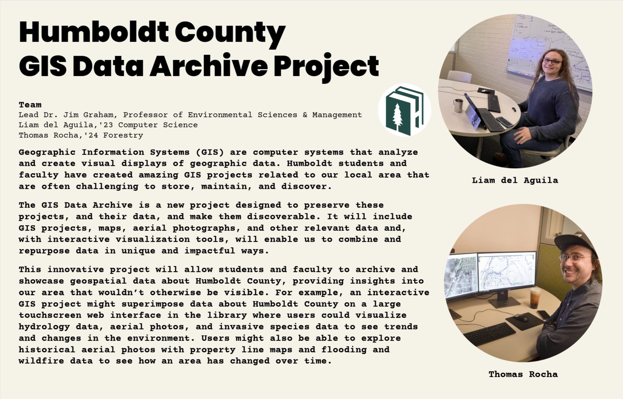
Visit the charity's profileWe are raising funding to hire student assistants for an innovative project that combines local historical maps, aerial photos, and student GIS projects. The Humboldt GIS Data Archive is an innovative interactive digital interface to Humboldt County aerial photos and historic maps, and GIS Data and Projects. The Archive is designed to preserve GIS projects and their data, and make them discoverable along with historic maps and photos of Humboldt County.
This collaborative project with Dr. Jim Graham, faculty, students and the Library is creating a visual touchscreen and web interface to various data sets and GIS projects that are in and around Humboldt County, as well as archiving GIS projects, and digitizing print resources. Imagine superimposing GIS projects (hydrology, species, development) data, with historical and current maps and with aerial photos across decades.
This is an incredible opportunity to give students powerful work experience digitizing historic maps, aerial photos, and connecting them with GIS Datasets, to give everyone an innovative visualization of Humboldt County. Our GIS Student Assistant has already georeferenced several historic maps and Shuster Aerial photographs of our area, and we are seeking to expand the number of maps, aerial photos, and gather GIS projects so everyone can explore different layers of geography and history.
Charities pay a small fee for our service. Learn more about fees